

3,143 Square Feet for $350,000. Look at Where It Is.
Most people picture Illinois as flat.
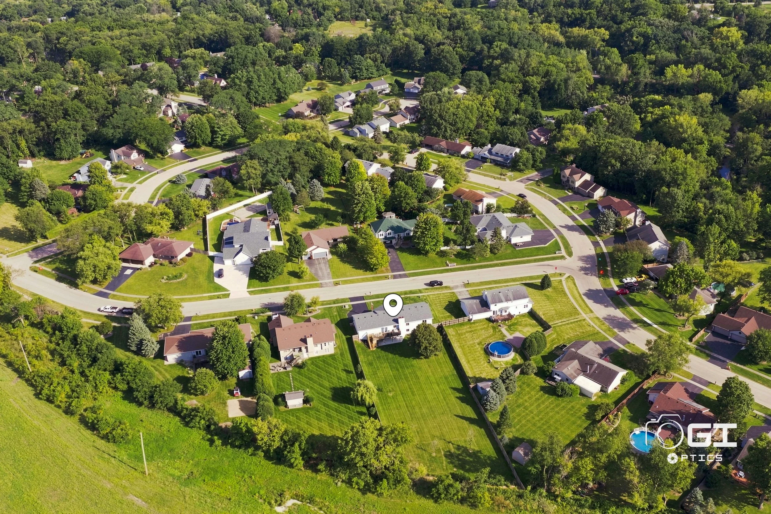
The drone frame from 3203 Tuggle Drive is the corrective. Rolling terrain, heavy tree cover, roads that curve because the land made them curve, houses set well back from each other on lots that run over half an acre. It doesn't look like the grid, and it doesn't look like a subdivision.
That frame is the most useful photograph in the entire set, and a ground-level shoot would have missed it completely.
Why the aerial carries this listing
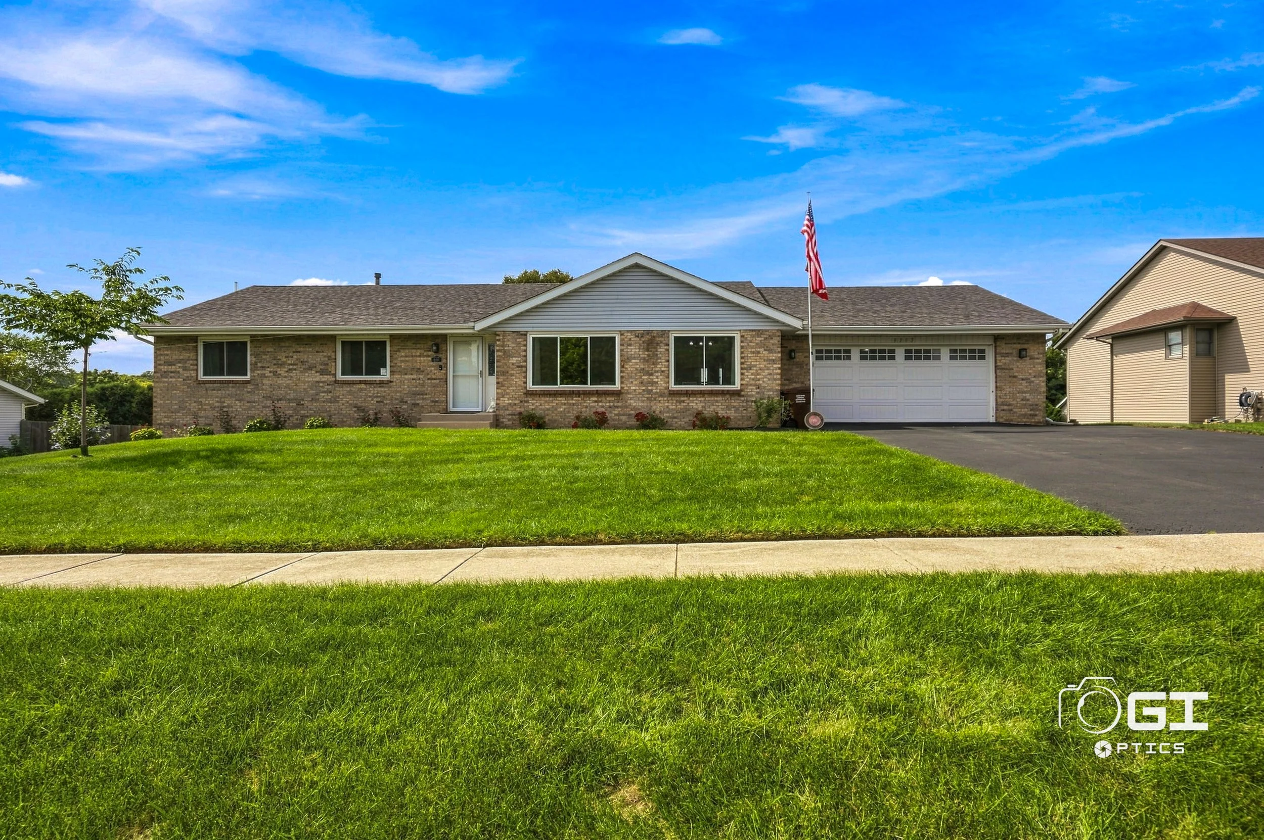
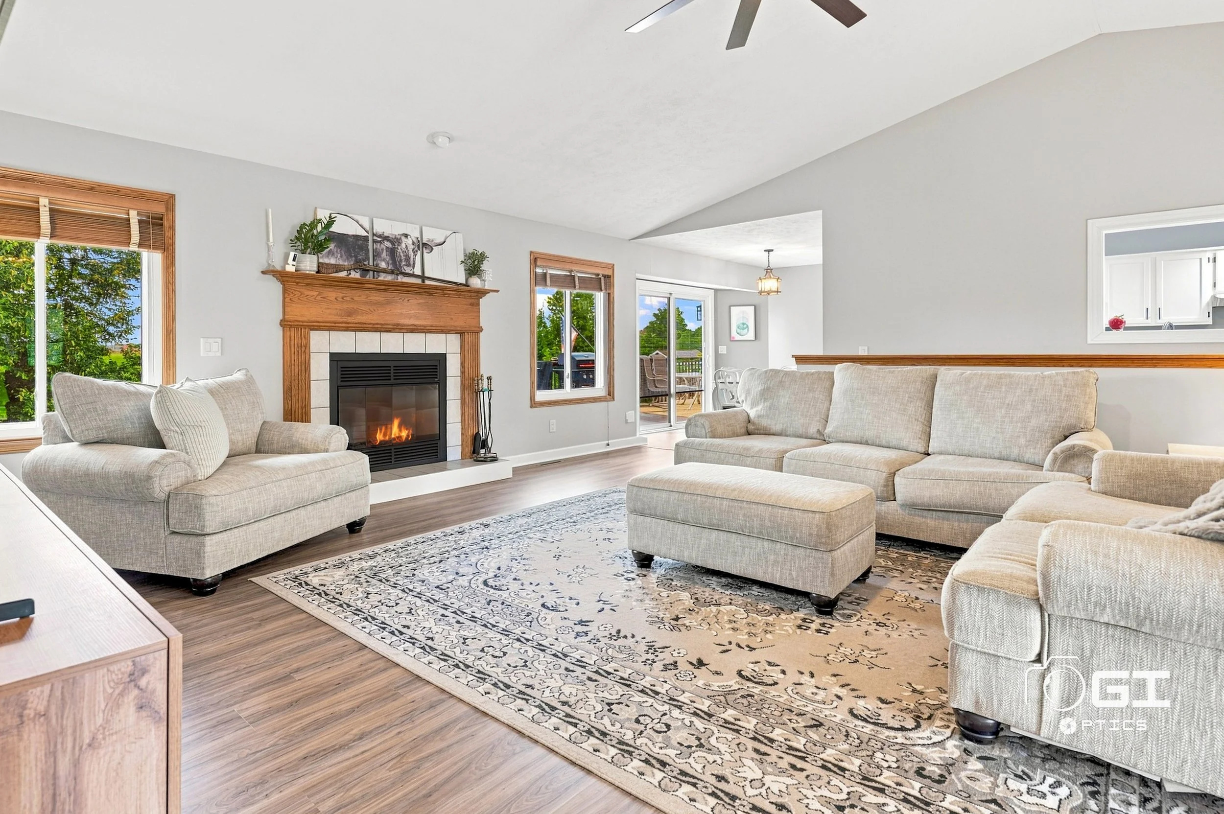
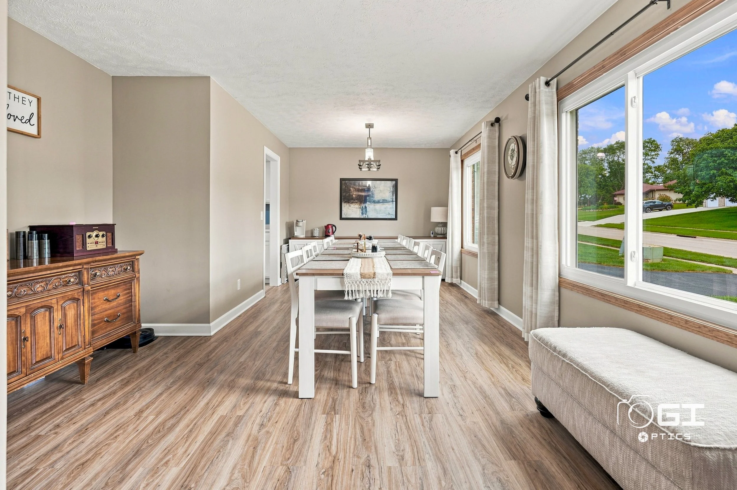
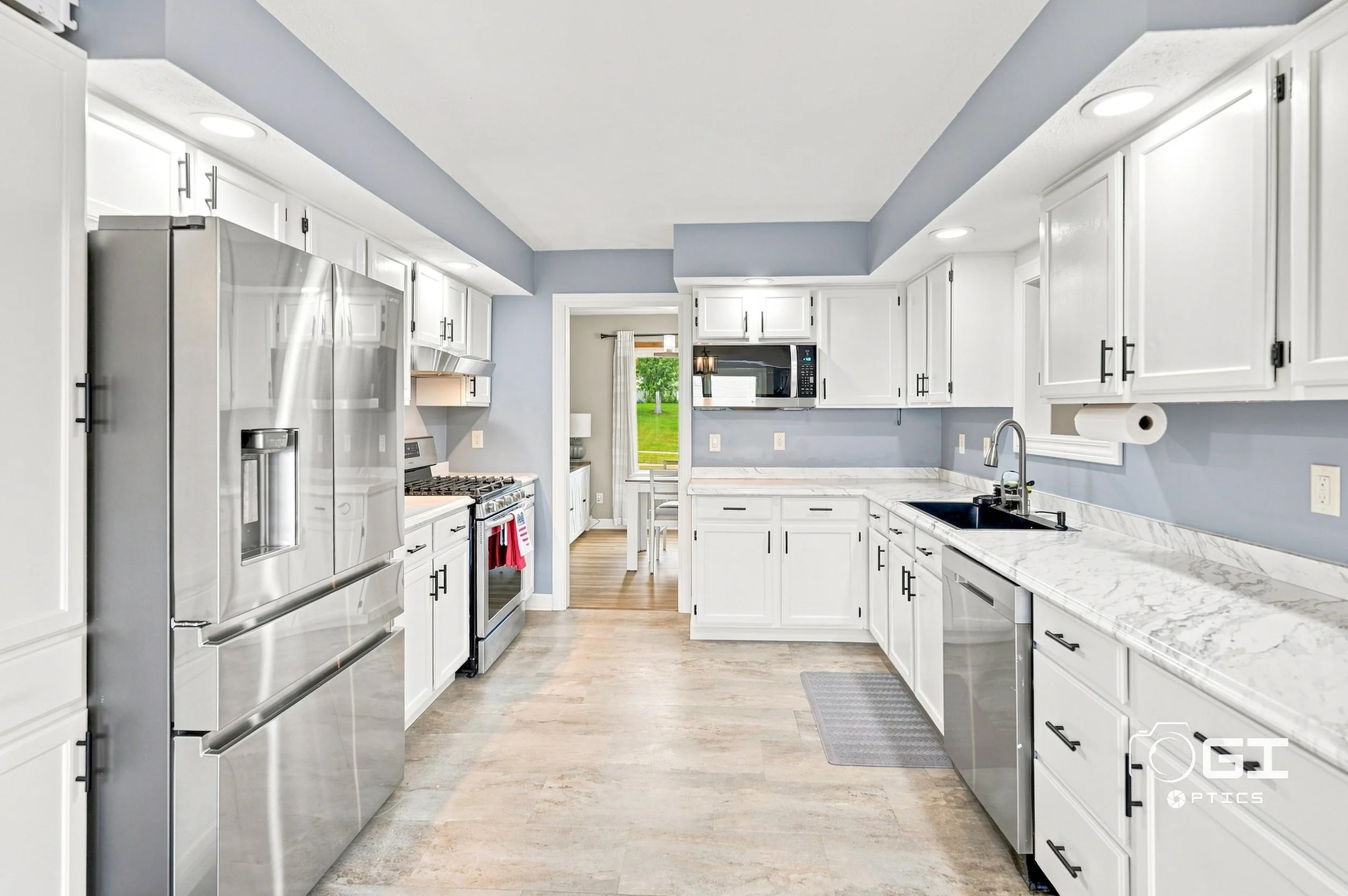
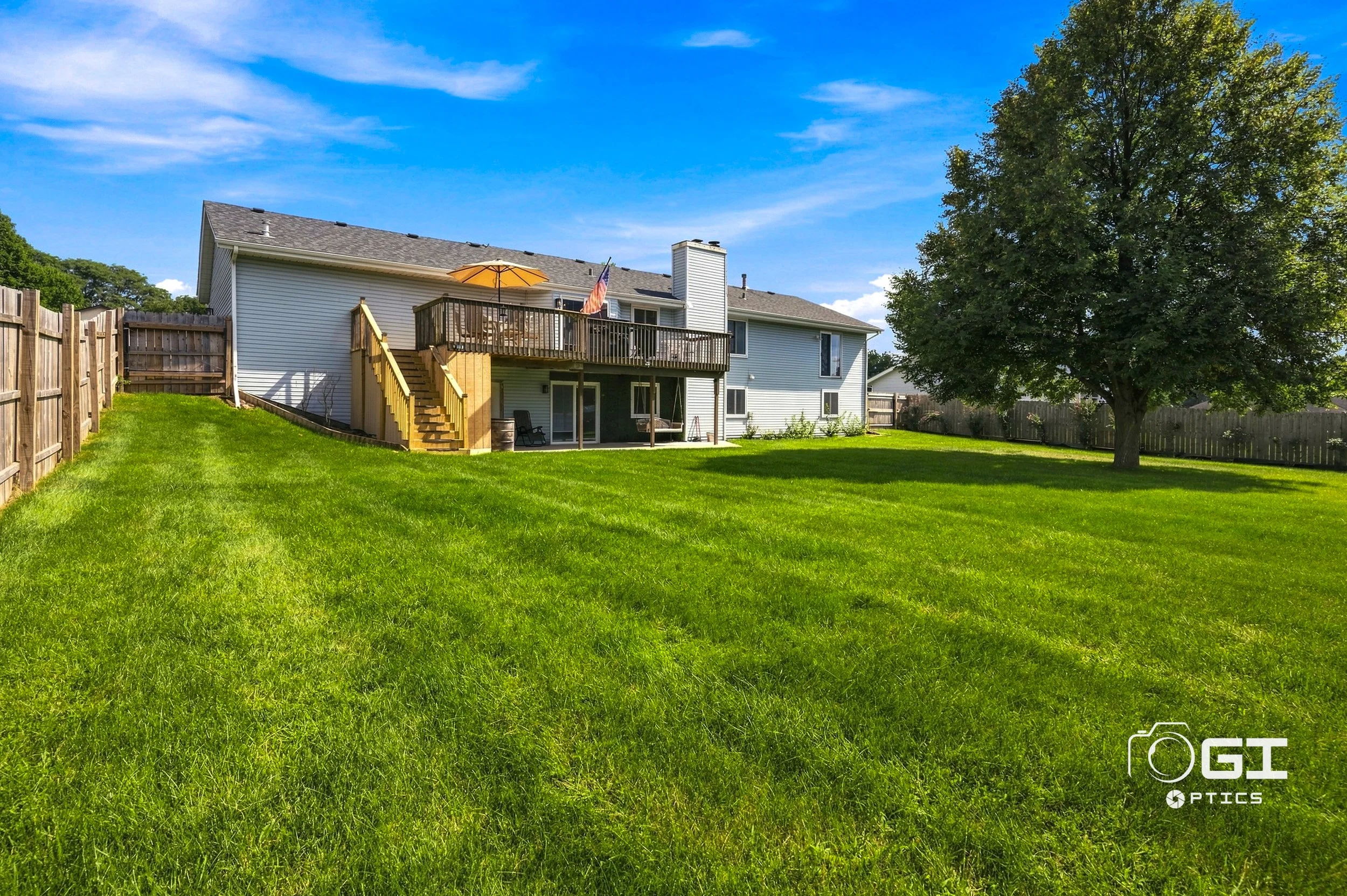
The property itself is straightforward to describe. A brick ranch built in 1997, four bedrooms, three baths, 3,143 square feet on 0.61 acres. Vaulted ceiling over the living room with a brick fireplace. White kitchen with stainless appliances and stone counters. Windows on nearly every wall of the main level. A deck off the back onto a lawn that keeps going.
Listed at $350,000, which works out to about $111 per square foot.
For context, the median list price in Schaumburg is currently around $297,000 and Arlington Heights is around $437,000 — for substantially less house in both cases.
So the numbers make the case on their own. What the numbers can't do is answer the question every buyer in this market is actually asking, which is: what is it like out there?
That question only has a visual answer. And it's not answerable from the driveway.
The test we use before flying
Before we put a drone up on any listing, we ask one thing: is there something true about this property that a person standing in the driveway cannot see?
At 3203 Tuggle there are two.
The terrain. You can't perceive rolling landscape from inside it. From your own lot, a hill is just a slope in your yard. From two hundred feet, it's the shape of an entire area.
The density, or the absence of it. Nine addresses on the whole street, average lot around 27,000 square feet. From the ground that reads as a nice yard. From the air it reads as a different category of place.
If the answer to that question is no — if the aerial just shows the same roofline from higher up — the shot isn't adding information. It's adding a photo. Those are different things and buyers can feel the difference even if they never name it.
Marketing a listing where the trade is space for distance
Cherry Valley sits southeast of Rockford, about ninety minutes from Chicago depending on where you're starting. That distance is the honest cost of the square footage, and every buyer considering this market is already running that math.
Which means the marketing job isn't to hide the distance. It's to show what you get for it.
That's a photography problem more than a copywriting one. You can write "0.61 acres" in a listing description and it lands as an abstraction. Show the lot from the air with eight other houses visible across a quarter mile of green, and it lands as a fact.
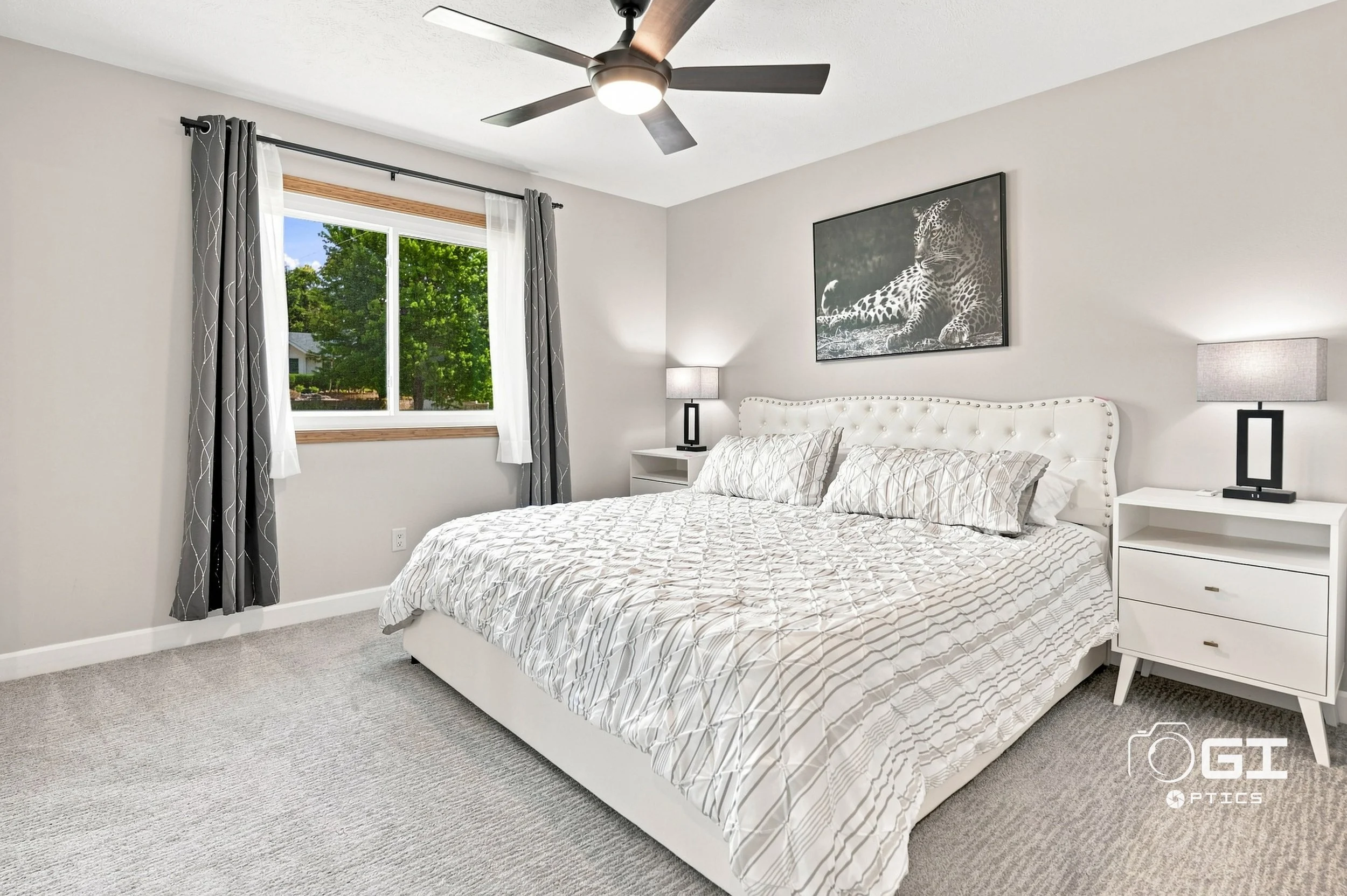
The same applies to the interior. A 3,143 square foot ranch is a lot of house on one level, and single-level square footage photographs differently than a two-story of the same size — you're shooting for continuous sightlines rather than isolated rooms, because the openness is the point.
What was delivered
This was our Plus package:
A full set of MLS-ready photos, six drone photos, a floor plan, a property walkthrough video for the listing, and a basic cinematic video built for social. Photos delivered within 24 hours, video within 48.
Listed by Karla Ellis and Vanessa Valtierra, Team Amare.
Open house Saturday, 12 to 3.
Real estate photography in Cherry Valley, Rockford and Winnebago County
We work across Chicagoland and out through northern Illinois — Cherry Valley, Rockford, Belvidere, Loves Park, Roscoe and the surrounding Winnebago and Boone County markets.
The listing challenge out here is different from the near suburbs. Inventory is more varied, lots are larger, and the competition isn't a dozen identical units in the same association. It's a buyer deciding whether a market they've never driven to is worth considering at all.
That decision gets made almost entirely from photographs.
Frequently asked questions
How much does real estate photography cost in Chicagoland and northern Illinois? Our Base package starts at $200 and includes 25 MLS photos, 6 drone photos and a floor plan. The Plus package at $300 adds a property walkthrough and basic cinematic video. Our Pro package at $450 includes a full cinematic video.
How long does a real estate photo shoot take? Most shoots run one to two hours on site, depending on square footage and whether video and drone coverage are included.
How fast do you deliver photos and video? Standard turnaround is 24 hours for photos and within 48 hours for video.
What areas do you serve? We work throughout Chicagoland and northern Illinois, including Cherry Valley, Rockford, Belvidere, Elgin, Schaumburg, Arlington Heights, Roselle and the surrounding suburbs.
Book a shoot
If your listing's best argument is the land around it, that's what the drone is for.
See packages and book a shoot →
Related: Buyers Rank the Neighborhood Above Price. Your Listing Video Never Shows It. — the data behind why the aerial matters more than the kitchen.